
A conservancy is a community or privately-managed area where people choose to conserve and manage wildlife sustainably. In practice, it is a land area of ecological value managed to achieve long-term wildlife conservation alongside other compatible land uses.
It is a tool for self-governance, better land management, habitat connectivity, cultural preservation and livelihood diversification. Over the past 30 years, conservancies have become critical to Kenya’s wildlife conservation and socio-economic development.
“An area of land set aside by an individual landowner, body corporate, group of owners, or a community for wildlife conservation purposes.” — Wildlife Conservation and Management Act, 2013
Private & community conservancy members
Hectares under conservation
Of Kenya’s landmass
Of wildlife living outside national parks
Households benefiting from conservancies
Rangers protecting wildlife & communities
Kenya’s conservancies are as diverse as the landscapes and communities that sustain them — shaped by different forms of land ownership, but united by one goal.
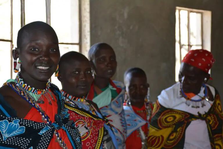
Collectively owned and managed by communities on community land under the Community Land Act (2016). They make up the majority of registered conservancies and the largest share of land under conservation.
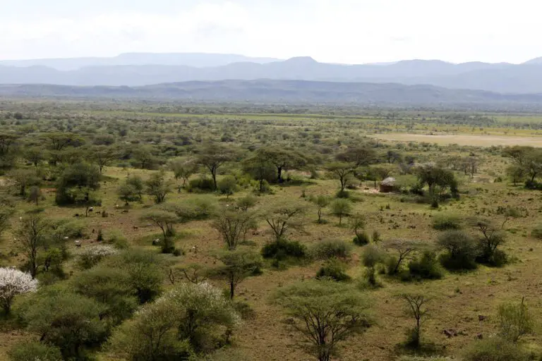
Formed by clusters of individual landowners who pool their parcels into larger, viable conservation areas — common in the Maasai Mara — keeping fragmented landscapes open and connected.
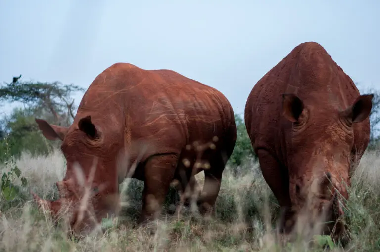
Established and managed by individual landowners or private entities on mixed-use models that combine tourism, research, livestock and conservation — pioneers of conservation innovation.
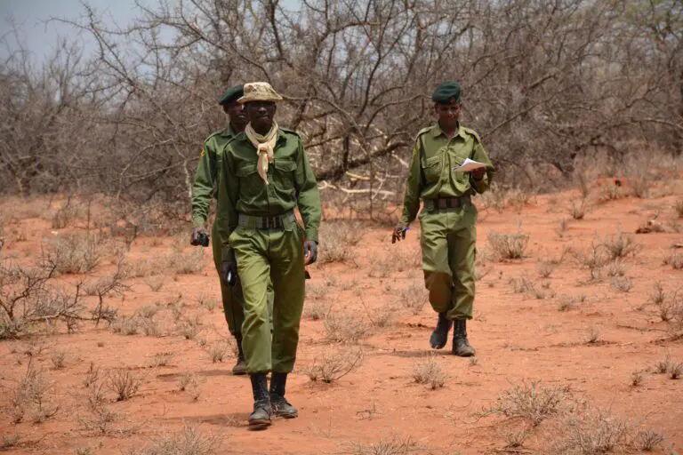
An arrangement between a government agency or authority and a community or private landowners to conserve specific public land.
Conservancies are coordinated through 12 landscape associations for joint planning, coordination and stronger local voice.
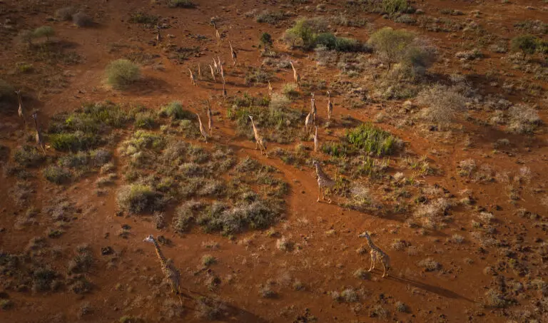
Coordinated by the Amboseli Ecosystem Trust (AET).
Counties: Kajiado.
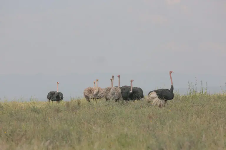
Coordinated by the Athi Kapiti Wildlife Conservancies Association (AKWCA).
Counties: Kajiado, Machakos and Nairobi.
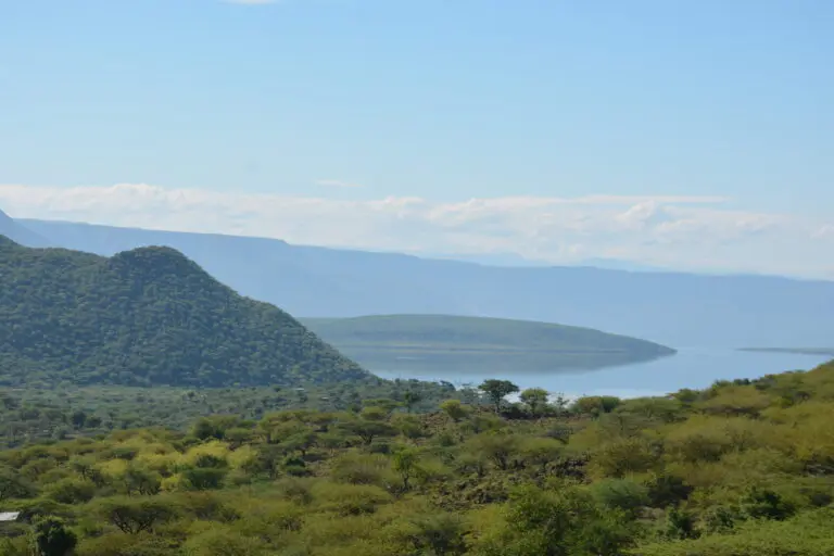
Coordinated by the Baringo County Conservancies Association (BCCA).
Counties: Baringo, Elgeyo Marakwet and Nandi.
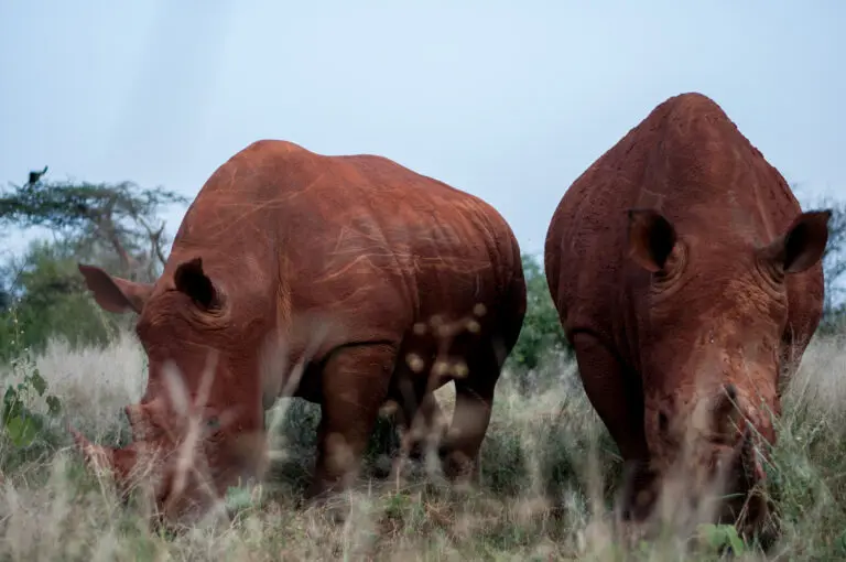
Coordinated by the Laikipia Conservancies Association (LCA).
Counties: Laikipia, Meru and Nyeri.
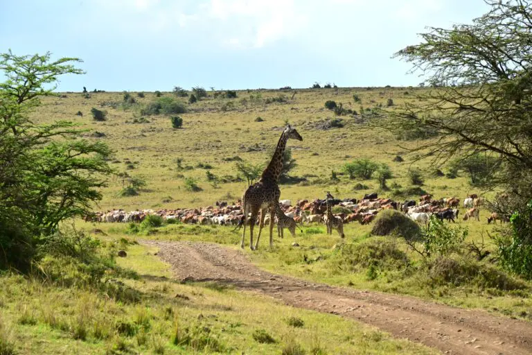
Coordinated by the Maasai Mara Wildlife Conservancies Association (MMWCA).
Counties: Narok.
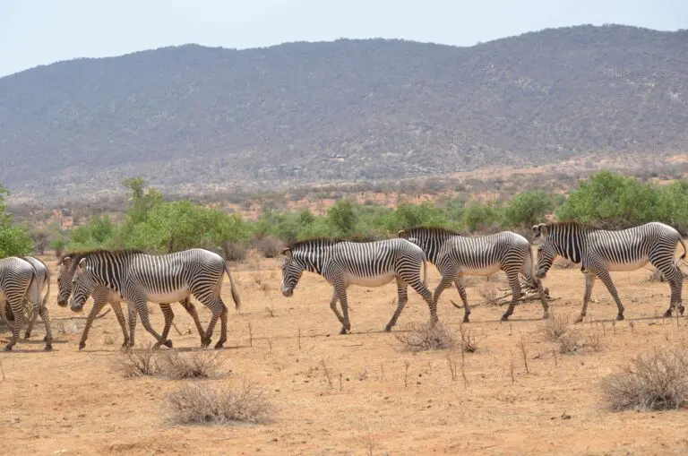
Coordinated by the North Eastern Conservancies Association (NECA).
Counties: Garissa, Isiolo, Mandera and Wajir.
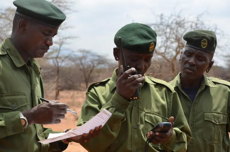
Coordinated by the Northern Rangelands Trust (NRT).
Counties: Isiolo, Laikipia, Marsabit, Meru and Samburu.
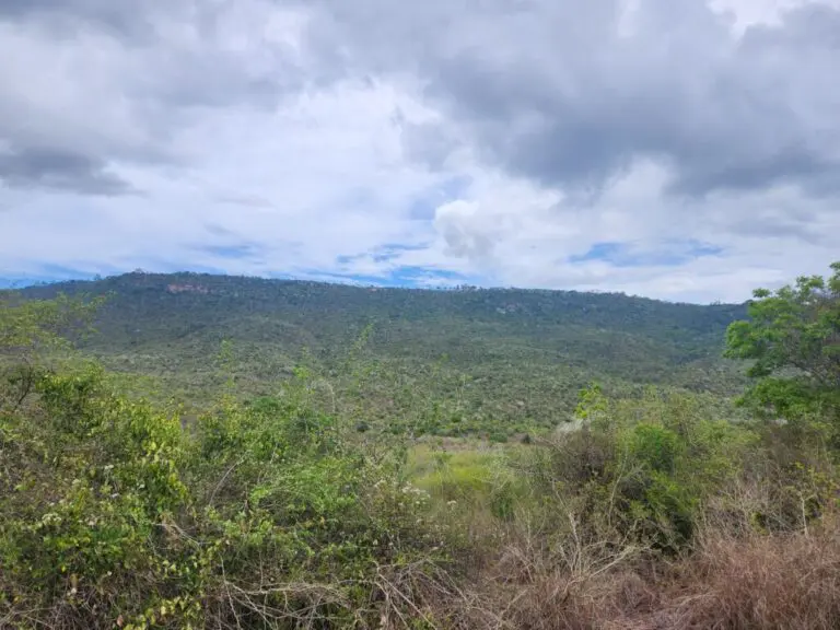
Coordinated by the Pwani Ecosystem Conservancies Foundation (PECFO).
Counties: Kilifi, Kwale and Tana River.
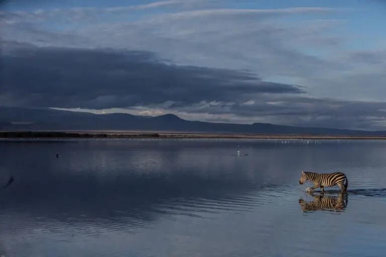
Coordinated by the Rift Lakes Conservancies Association (RLCA).
Counties: Nakuru.
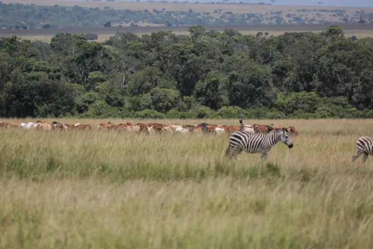
Coordinated by the South Rift Association of Land Owners (SORALO).
Counties: Kajiado.
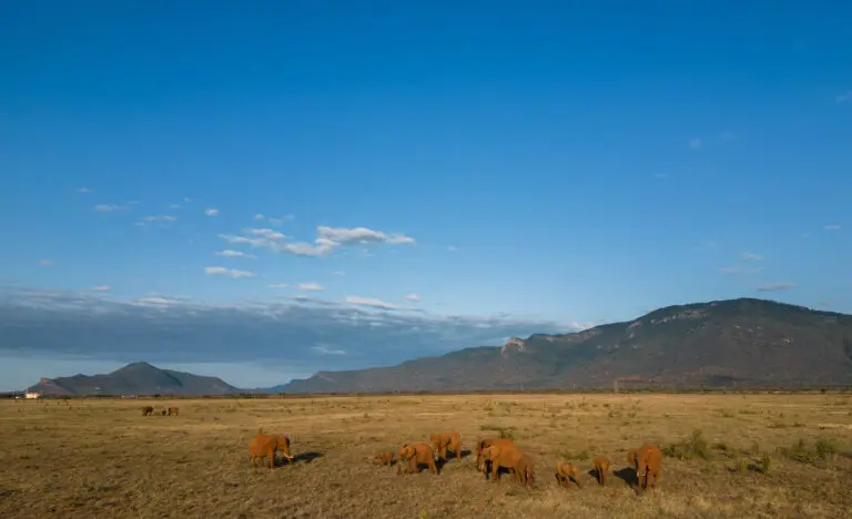
Coordinated by the Taita Taveta Wildlife Conservancies Association (TTWCA).
Counties: Taita Taveta and Kilifi.
Coordinated by the Western Wildlife Conservancies Association (WWCA).
Counties: Bungoma, Busia, Elgeyo Marakwet, Kakamega, Nandi, Siaya, Trans Nzoia and Vihiga.